Southern Poland has two very different mountain areas, and both are worth the trip. The Tatras around Zakopane are high, rocky and dramatic, with glacial lakes and summits that need a full day. The Beskids around Szczyrk are lower, green and rounded, and their lifts do much of the climbing for you.
Below are all the Polish routes I have hiked and written about, grouped by area, with the key numbers for each one. Click through to any route for the full guide with the map, route description and practical tips.
All Polish Routes at a Glance
| Route | Area · base | Distance | Ascent | Time | Difficulty |
|---|---|---|---|---|---|
| Wielki Giewont from Strążyska Valley | Tatras · Zakopane | 11.8 km | 920 m | ~6 h | Hard |
| Valley of Five Polish Lakes | Tatras · near Zakopane | 16.8 km | 680 m | ~6 h | Hard |
| Kościelisko Valley to Mała Łąka Valley | Tatras · near Zakopane | 9.7 km | 300 m | ~3.5 h | Easy |
| Nosal from Kuźnice | Tatras · Zakopane | 3.3 km | 273 m | ~2 h | Easy |
| Babia Góra from Przełęcz Krowiarki | Żywiec Beskids · Krowiarki Pass | 10.7 km | 680 m | ~4.5 h | Hard |
| Szczyrk Loop to Malinowska Skała | Silesian Beskids · Szczyrk | 7.6 km + 4 lifts | 180 m | ~3 h | Easy |
| Bielsko-Biała to Szczyrk over Szyndzielnia and Klimczok | Silesian Beskids · Bielsko-Biała | 9 km + cable car | 120 m up / 630 m down | ~3 h 20 min | Easy |
Tatra Mountains: Zakopane
The Tatras are the highest part of the Carpathians, and Zakopane is the gateway to the Polish side. Trails are well marked but often rocky and steep, so even the shorter routes feel like proper mountain hikes.
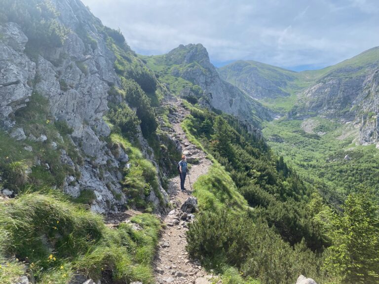
Wielki Giewont from Strążyska Valley
📍 Tatras · Zakopane
11.8 km · ↑ 920 m · ~6 h · Hard
The mountain that watches over Zakopane: up through Strążyska Valley to the summit cross, with chain-assisted sections near the top, and down to Kuźnice.
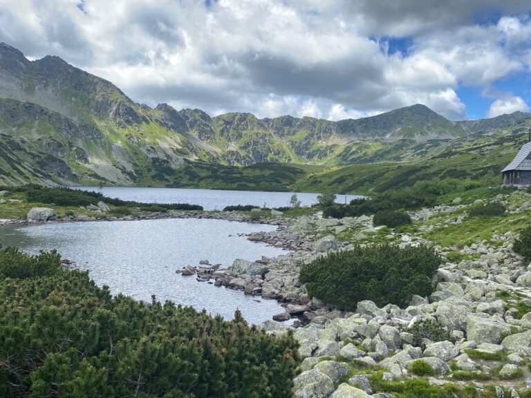
Valley of Five Polish Lakes
📍 Tatras · near Zakopane
16.8 km · ↑ 680 m · ~6 h · Hard
A long day from Palenica Białczańska to a high valley of glacial lakes surrounded by granite peaks – one of the most beautiful places in the Polish Tatras.
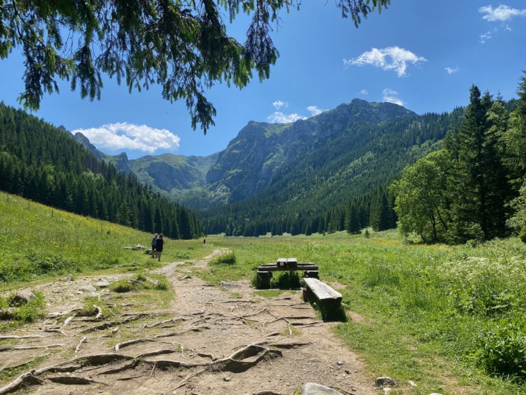
Kościelisko Valley to Mała Łąka Valley
📍 Tatras · near Zakopane
9.7 km · ↑ 300 m · ~3.5 h · Easy
Two green valleys in the western Tatras linked by a gentle mountain trail. A good first day in Zakopane, or a calmer day between bigger hikes.
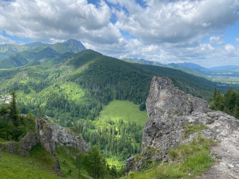
Nosal from Kuźnice
📍 Tatras · Zakopane
3.3 km · ↑ 273 m · ~2 h · Easy
A short climb right on the edge of Zakopane to limestone rocks with views over the Tatra valleys. Steep in places, but over quickly.
Beskids: Szczyrk and Babia Góra
The Beskids are gentler and greener than the Tatras, with forested ridges, mountain lodges and plenty of lifts. Szczyrk makes a good base for several days, and Babia Góra is the big challenge of the area.
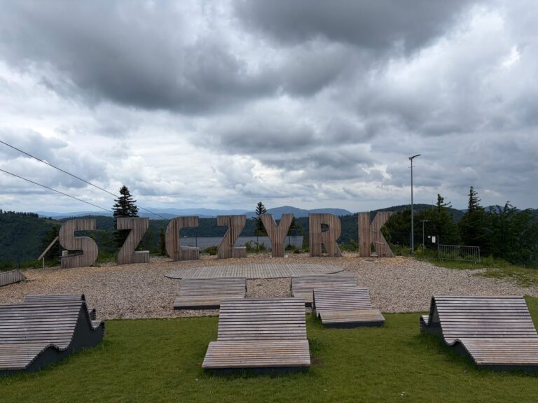
Szczyrk, Poland: Complete Guide
Multi-day guide · 3 hikes, lifts and practical tips
Planning several days in the Beskids? This guide puts the three Beskid hikes together with the lifts, getting around and where to stay in Szczyrk.

Babia Góra from Przełęcz Krowiarki
📍 Żywiec Beskids · Krowiarki Pass
10.7 km · ↑ 680 m · ~4.5 h · Hard
The highest peak of the Beskids. A steady climb from the pass onto a rocky, open ridge with stone steps and wide views in every direction.
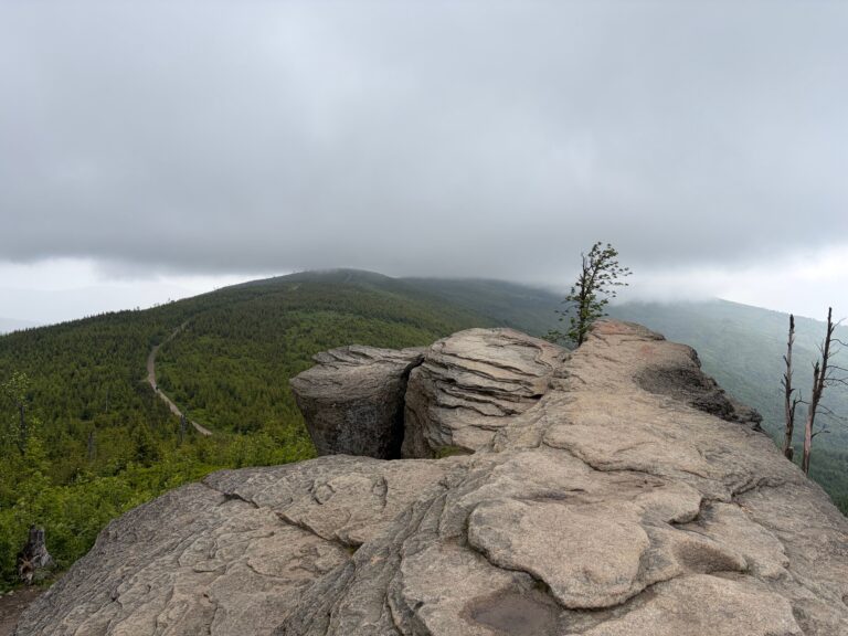
Szczyrk Loop to Malinowska Skała
📍 Silesian Beskids · Szczyrk
7.6 km + 4 lifts · ↑ 180 m · ~3 h · Easy
Four lifts do most of the climbing, leaving a gentle ridge walk to the Malinowska Skała rock and lunch at a mountain lodge.
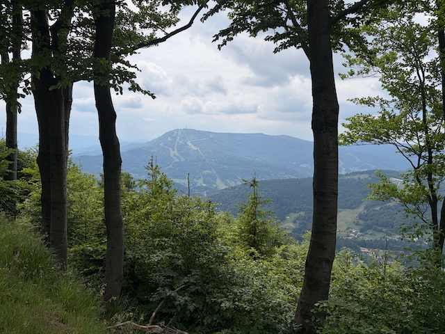
Bielsko-Biała to Szczyrk over Szyndzielnia and Klimczok
📍 Silesian Beskids · Bielsko-Biała
9 km + cable car · ↑ 120 m up / 630 m down · ~3 h 20 min · Easy
Cable car up Szyndzielnia, a ridge walk over Klimczok past two mountain shelters, then a long descent into Szczyrk. Mostly downhill.
Good to Know Before You Go
- When to go: late June to October in the Tatras, June to October in the Beskids. Outside that window, snow can linger on higher trails.
- Getting around: Zakopane works well as a base for all the Tatra routes here. In the Beskids, the Szczyrk routes are possible without a car, but Babia Góra is much easier to reach by car.
- Difficulty: I rate routes as Easy, Moderate, Hard or Expert. In the Tatras, “Hard” usually means long days, rocky terrain and steep stone steps rather than technical climbing.
Looking for something flatter? See Hiking in Latvia for bog boardwalks, sandstone cliffs and forest lakes.